Fallen Leaf Lake via Moraine Trail
A gentle campground-to-lake loop brings forest shade and an open view across Fallen Leaf Lake. It is the simple public-access choice for a shorter walk, a picnic break, or an easy family outing.
- Distance
- ≈ 1.1 mi
- Elevation gain
- ≈ 35 ft
- Time estimate
- 45–75 minutes
- Effort
- Easy
Why go
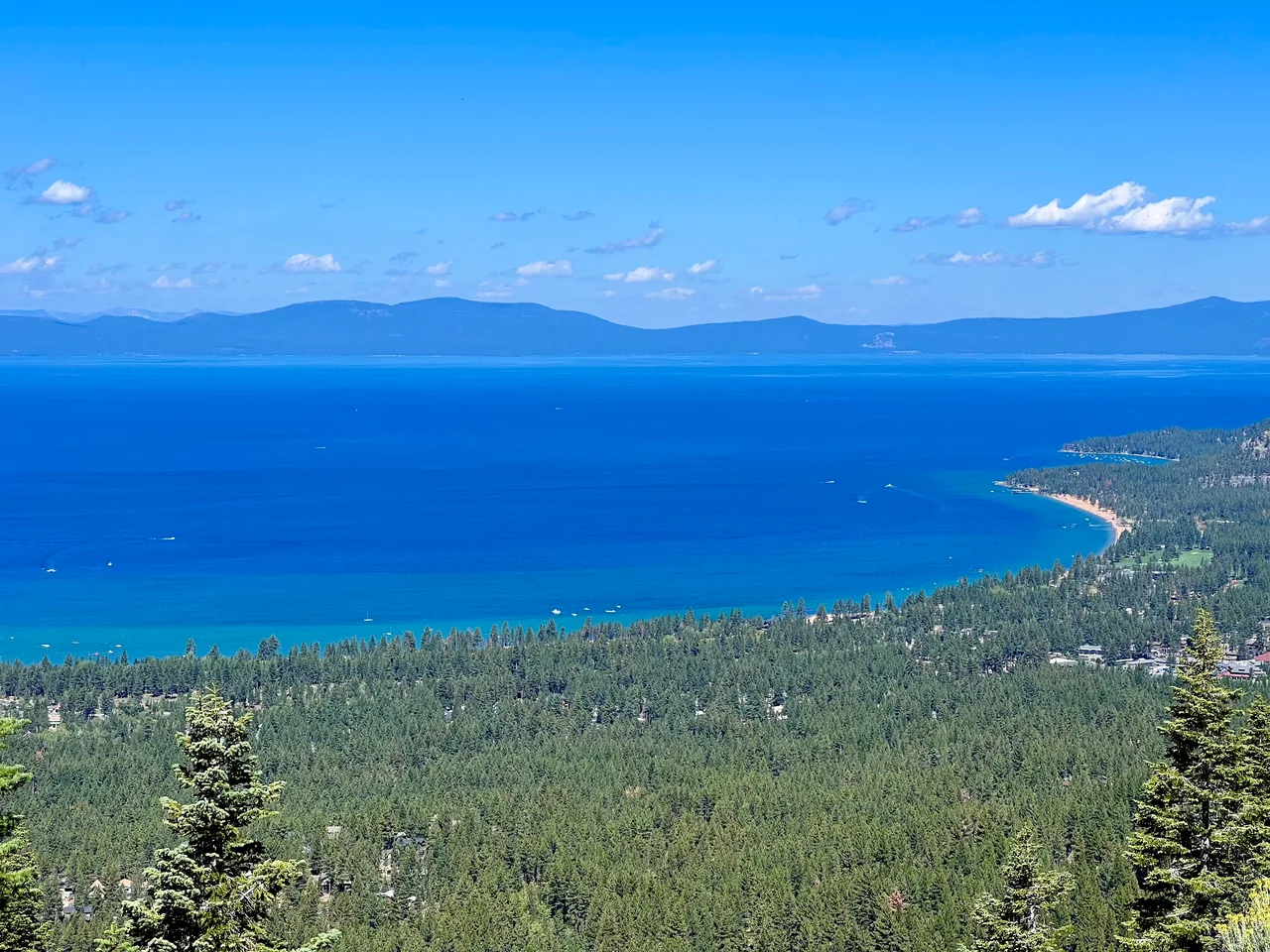
Fallen Leaf Lake offers a different scale from Tahoe: the water feels close, the mountains feel immediate, and the walk need not dominate the day. The Moraine Trail reaches the north end from a designated day-use area inside the campground. Its modest length makes it a useful choice when energy, weather, or available time calls for something smaller.
Leave space in your schedule for sitting beside the lake rather than trying to add every nearby path. This guide deliberately uses the campground loop. Other walks described as Fallen Leaf Lake follow the east shore and meet private property, so a general lake name is not enough to identify the intended route.
The walk
Loop · Moraine day-use parking, Fallen Leaf Campground
Start at the designated Moraine day-use area within Fallen Leaf Campground. Check the trailhead board and follow the public path toward the north end of the lake.
Walk the established lakeshore portion of the Moraine loop, pausing on durable ground for the view. Keep to public trails rather than following informal shoreline shortcuts.
Complete the signed return to the campground day-use area. Retrace your approach if a junction is unclear instead of extending onto unrelated shoreline or residential paths.
A route overview for planning. Carry an offline topographic map and follow current trail signs.
Getting there & going prepared
Use the campground’s day-use trailhead, not an occupied campsite or a private driveway. Forest Service material identifies Moraine as a public trailhead with parking and nearby restrooms; campground vehicle access is seasonal. Check current day-use parking instructions and any fee at the entrance. The route stays near Fallen Leaf Lake and does not enter Desolation Wilderness.
Keep in mind
Do not assume the entire lake has a continuous public shoreline trail; neighboring routes meet private property.
Sources & route notes
Replaced proposed east-shore walk with documented public campground Moraine loop. Hikespeak reports 1.1-mile loop and 35 feet of elevation change; other Moraine descriptions report two-mile out-and-back variants. This entry is specifically the shorter loop from day-use parking, not a full lake circuit.
- Forest Service: campground and seasonal access
- Moraine loop route and metrics
- East-shore alternative and private-property limits
- Forest Service Moraine trailhead facilities map
Source review: Oct 16, 2026. Not a field report or a statement that the trail is open. Times and difficulty are editorial planning estimates.