Rubicon Trail to Emerald Bay
A full shoreline day linking D.L. Bliss with Vikingsholm in Emerald Bay. Forest, rocky headlands, and clear-water coves make this a route to savor, with enough distance to require deliberate planning.
- Distance
- ≈ 11.4 mi
- Route
- Out and back
- Time estimate
- 5–7 hours
- Effort
- Hard
Why go
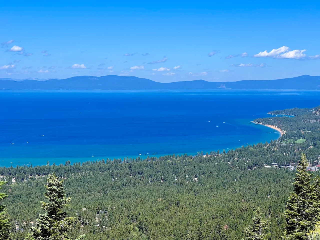
The Rubicon is about staying close to Tahoe long enough to notice its changing shoreline. Open headlands alternate with quieter wooded stretches, while the lake shifts between the broad horizon and water directly below the trail. The approach into Emerald Bay gives the walk a clear destination. A leisurely pace suits the setting, but the full return distance is substantial.
This version starts at Calawee Cove and turns around at Vikingsholm. It is longer than many hikes sold under the same trail name, so compare endpoints before choosing it. A shorter out-and-back can be worthwhile if daylight or energy is limited. Do not rely on a shuttle or boat ride to finish an outing planned as a return walk.
The walk
Out and back · Calawee Cove Rubicon Trailhead, D.L. Bliss State Park
Start at the Calawee Cove Rubicon trail access in D.L. Bliss and follow the pedestrian shoreline trail toward Emerald Bay, checking the park map at junctions.
Continue along the established trail into the bay and toward Vikingsholm. Keep breaks short enough to preserve ample daylight for the equally long return.
Turn around at Vikingsholm and retrace the route to Calawee Cove. Do not climb to the Highway 89 overlook unless that extra distance is intentional.
A route overview for planning. Carry an offline topographic map and follow current trail signs.
Getting there & going prepared
Check D.L. Bliss access first: its official page lists off-season vehicle closure beginning October 1, 2026, with walk-in access from the visitor center. That adds distance and changes this itinerary. Dogs and bikes are prohibited on the Rubicon foot trail. Summer parking fills; carry water and do not depend on off-season services.
Keep in mind
Seasonal gate closures move the starting point; shoreline cliffs and a long return make distance planning essential.
Sources & route notes
11.4 miles doubles the official 5.7-mile Calawee Cove-to-Vikingsholm access distance. It excludes the Highway 89 Vikingsholm descent, Lighthouse trailhead variants, and off-season visitor-center approach. Cumulative gain was not verified for these exact endpoints and is intentionally omitted. Difficulty is editorial for the full out-and-back. Access note checked October 16, 2026; recheck before travel.
- Official Rubicon trail access and distances
- D.L. Bliss access and seasonal closure
- Official park brochure and map
Source review: Oct 16, 2026. Not a field report or a statement that the trail is open. Times and difficulty are editorial planning estimates.