Mount Rose
A high trailhead, waterfall approach, and exposed final climb make Mount Rose a full mountain day. The summit offers an expansive view, but the altitude and length matter well before the last switchbacks.
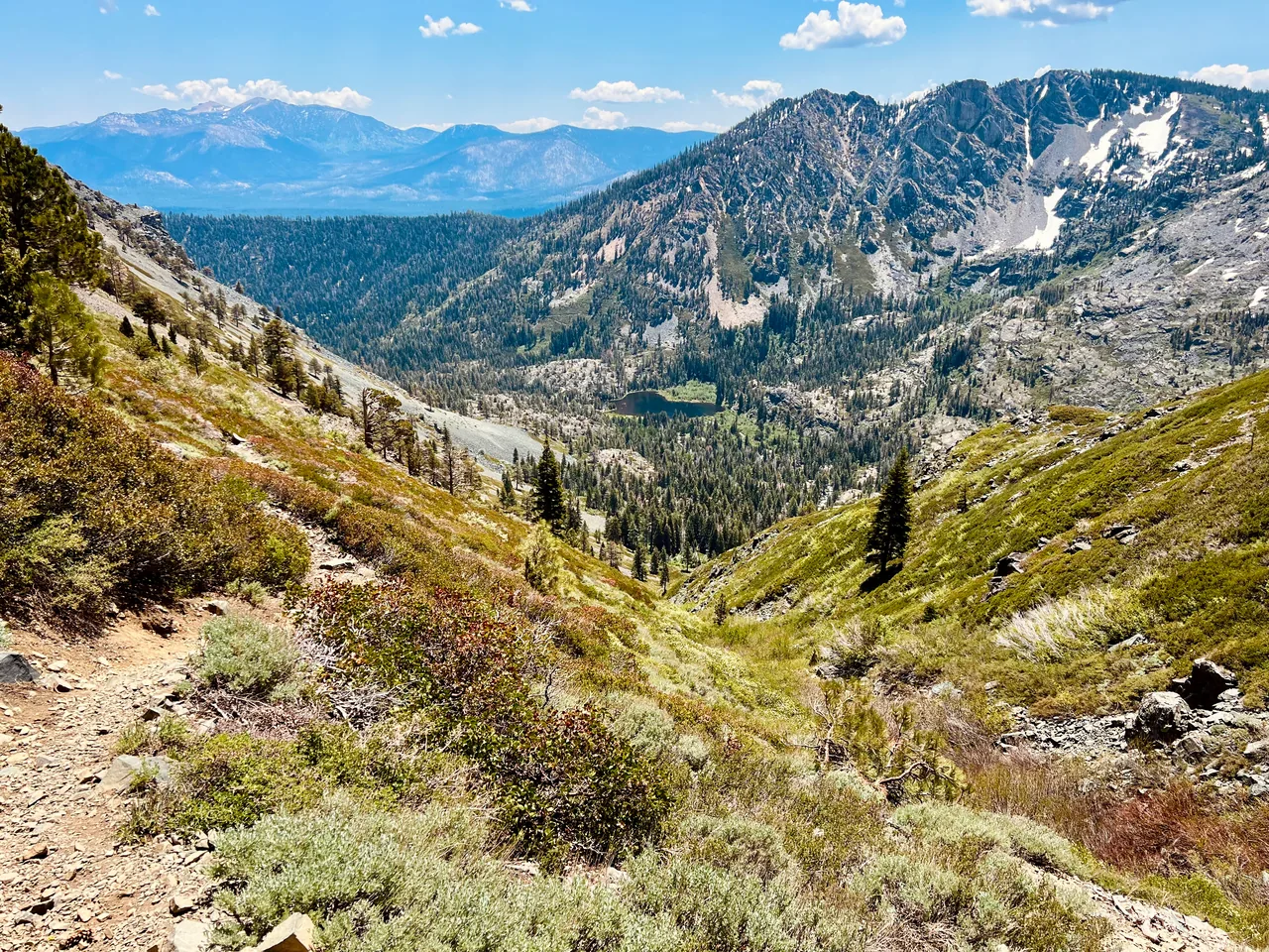
- Distance
- ≈ 10.4 mi
- Route
- Out and back
- Time estimate
- 6–8 hours
- Effort
- Hard
Why go
Mount Rose combines an inviting approach with a much more demanding finish. The earlier trail visits forest and the Galena Creek waterfall area, making it tempting to move quickly. Resist that urge: the start is already high, and the summit climb deserves a generous share of your energy and daylight.
Above the gentler terrain, the route becomes a sustained climb toward open mountain slopes. Choose a clear, stable-weather day and keep a turnaround time. The waterfall is a good shorter objective if the full summit is not right for the group. Finishing a comfortable outing there is more useful than reaching the peak without enough reserve for the return.
The walk
Out and back · Mount Rose Summit Trailhead on Nevada Highway 431
Begin at the Mount Rose Summit highway trailhead, not the ski resort. Follow the established hiking route toward the Galena Creek waterfall area, watching junction signs.
Beyond the waterfall approach, take the signed Mount Rose summit route and climb through the higher terrain. Check conditions before committing to the exposed final slopes.
Reach the summit only while weather and energy allow, then retrace the route to the same trailhead. Keep enough time for the long return over rolling terrain.
A route overview for planning. Carry an offline topographic map and follow current trail signs.
Getting there & going prepared
The Forest Service’s north-and-east-shore guide lists the summit hike as 5.2 miles each way. Start from the signed highway summit parking area on NV-431 rather than Mount Rose Ski Tahoe. Friends of Nevada Wilderness highlights the roughly 8,900-foot starting elevation. Carry a map and check Forest Service access information and the mountain forecast before departure.
Keep in mind
High altitude, strong summit winds, and lightning exposure make this more serious than its moderate approach suggests.
Sources & route notes
10.4 miles doubles Forest Service's 5.2-mile one-way listing; other guides report 10.6–11 miles. Omit cumulative gain: published figures mix net climb (about 1,900 feet) with cumulative gains and no sufficiently strong total was verified. Summit elevation varies by survey/source; intentionally omitted exact figure.
- Forest Service: north and east shore hiking guide
- Friends of Nevada Wilderness: Mount Rose trails
- Mount Rose route overview
Source review: Oct 16, 2026. Not a field report or a statement that the trail is open. Times and difficulty are editorial planning estimates.