Tahoe Meadows Interpretive Loop
An easy loop through high meadow and forest offers a gentler way to experience Tahoe’s upper elevations. Bring curiosity rather than a summit agenda, and give the small details as much attention as the scenery.
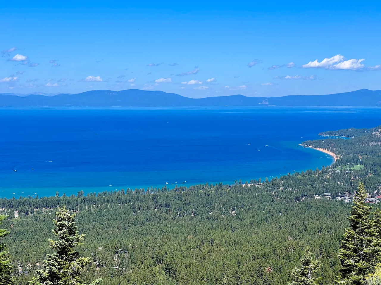
- Distance
- ≈ 1.3 mi
- Route
- Loop
- Time estimate
- 45–75 minutes
- Effort
- Easy
Why go
Tahoe Meadows is a good reminder that a mountain day need not revolve around climbing a peak. The interpretive loop makes room for slow walking, looking at the meadow, and pausing in the forest. Its short length is useful for mixed-energy groups, especially when you want a high-country setting without a long approach.
The meadow is living habitat, not spare space beside the path. Stay on the designated tread and boardwalks, leaving wet ground and plants undisturbed. Snow can linger here after lower Tahoe trails have dried. Treat the advertised easy summer loop as a different outing from winter travel, and check surface conditions if accessibility is important to your visit.
The walk
Loop · Tahoe Meadows Trailhead on Mount Rose Highway
Start at the Tahoe Meadows trailhead and identify the interpretive loop on the information board. Several longer trails share this access, so choose the short loop deliberately.
Follow the loop through meadow-edge and forest sections, using the designated path and any boardwalks. Stop on durable surfaces to read signs or observe the surroundings.
Complete the circuit back to the trailhead, keeping clear of longer Tahoe Rim Trail and Ophir Creek routes unless you have planned and mapped an extension.
A route overview for planning. Carry an offline topographic map and follow current trail signs.
Getting there & going prepared
The Forest Service identifies this trailhead as access for the interpretive loop, boardwalk, and Tahoe Rim Trail. The Tahoe Rim Trail Association lists a parking lot and accessible restrooms, and documents work to improve loop accessibility. Confirm current surface and facility conditions rather than assuming an old accessibility description applies to every season or mobility device.
Keep in mind
High-elevation snow and wet meadow edges can remain after lower trails dry; stay on the designated path.
Sources & route notes
County and Nevada Trail Finder describe a flat 1.3-mile loop; no numeric cumulative gain verified, so null rather than invented zero. The Forest Service page has an apparent NV-341 highway typo; Mount Rose Highway is NV-431, confirmed by TRTA and county sources. Do not confuse with private Tahoe Meadows neighborhood in South Lake Tahoe.
- Forest Service: Tahoe Meadows Trailhead
- Tahoe Rim Trail Association: loop accessibility
- Nevada Trail Finder: 1.3-mile interpretive loop
- Washoe County trail guide
Source review: Oct 16, 2026. Not a field report or a statement that the trail is open. Times and difficulty are editorial planning estimates.