Stateline Fire Lookout
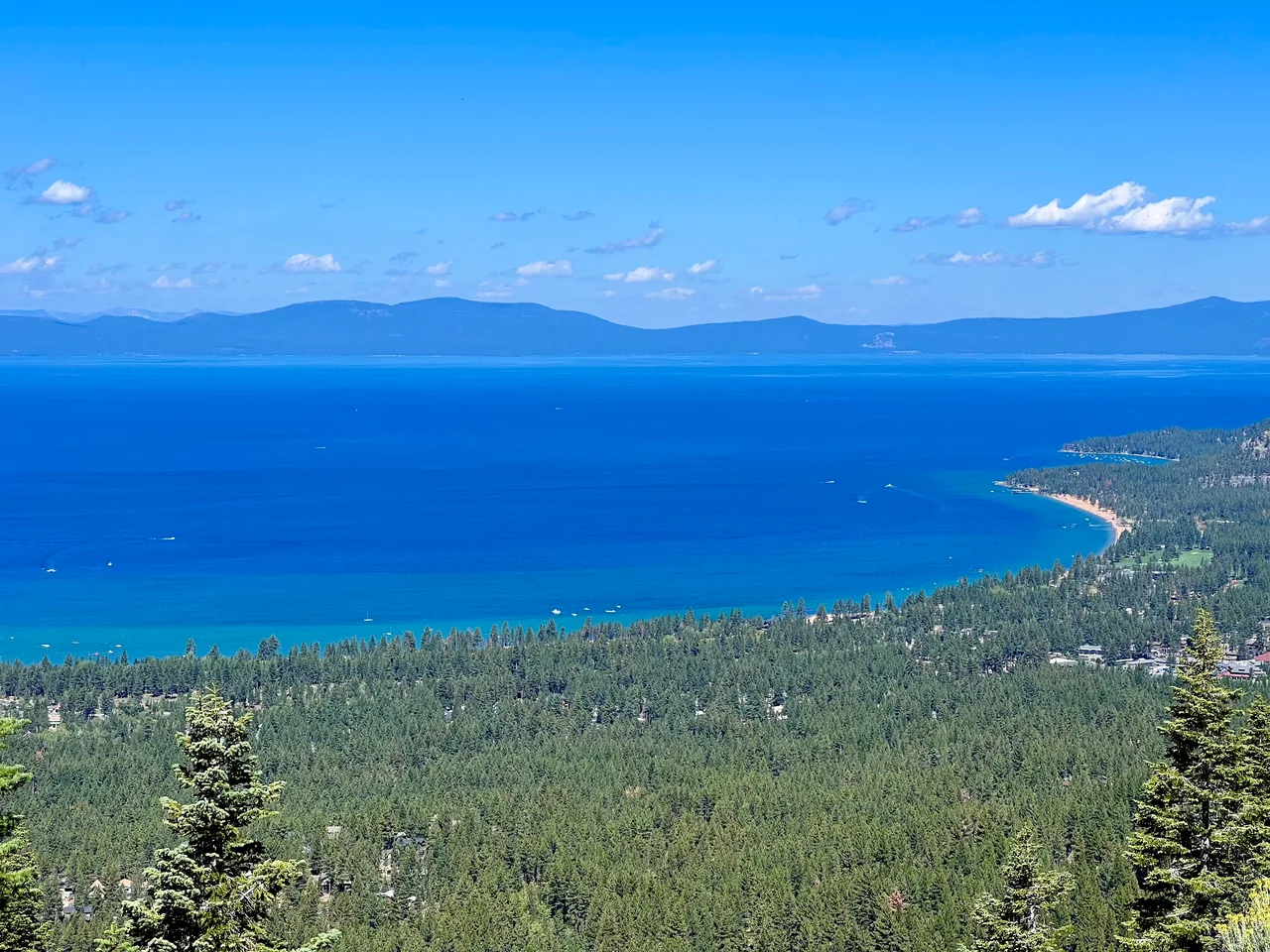
A short paved climb above Crystal Bay reaches a former fire-lookout site with a broad lake panorama. Interpretive signs and places to pause make it an inviting, unhurried North Shore outing.
- Distance
- ≈ 1 mi
- Elevation gain
- ≈ 400 ft
- Time estimate
- 45–75 minutes
- Effort
- Easy
Why go
Stateline Fire Lookout is a useful choice when you want a view without a long backcountry approach. The climb follows an old paved access road, so the walking is straightforward even though it is uphill. At the top, the lake opens below you and the interpretive setting gives the stop more depth than a quick roadside photograph.
Treat this as a small destination with time to linger. Read the panels, find a place to sit, and look across the northern basin before descending. The direct out-and-back is the route measured here; exploring the additional nature paths adds distance. Despite the name, this is above Crystal Bay on the North Shore, far from the South Lake Tahoe Stateline casinos.
The walk
Out and back · Forest Service Road 1601 gate above Crystal Bay
Begin at the Forest Service Road 1601 gate above Crystal Bay. Follow the public access route uphill, respecting the private property beside the approach between the gates.
Continue on the established paved road to the former lookout site. Take breaks as needed on the steady climb, then enjoy the viewpoint and interpretive displays.
Return down the same road to your starting gate. Add the self-guided nature paths only if you have time; their mileage is outside this direct out-and-back.
A route overview for planning. Carry an offline topographic map and follow current trail signs.
Getting there & going prepared
The Forest Service directs visitors to park near the Road 1601 iron gate after approaching through Reservoir Drive and Lakeshore Avenue. Parking is seasonal and the surrounding property is private. Keep gates and driveways clear. The site has no entry fee, permits day use only, and has no drinking water. Winter restroom and trash service are unavailable.
Keep in mind
Pavement can be icy in cold weather; use legal parking and remain on the public route through the residential approach.
Sources & route notes
One-mile round trip doubles the published direct 0.5-mile gate-to-lookout route; approximately 400 feet of ascent from Calexplornia. Longer 1.7–1.9-mile reports incorporate a different lower starting point and/or nature loops. The Forest Service explicitly supports public access and parking near the Road 1601 gate; do not direct visitors to drive through it. Exact street labels vary across mapping sources, so use the signed Forest Service gate and official directions.
- Forest Service: official access and facilities
- Tahoe Fund: trail and interpretive improvements
- Route distance and approximate gain
- North Lake Tahoe tourism route listing
Source review: Oct 16, 2026. Not a field report or a statement that the trail is open. Times and difficulty are editorial planning estimates.