Echo Lakes Shoreline
Follow the lakeside section of the Pacific Crest Trail to the far end of Upper Echo Lake. Granite, forest, and long water views fill a half day without the full commitment of Aloha.
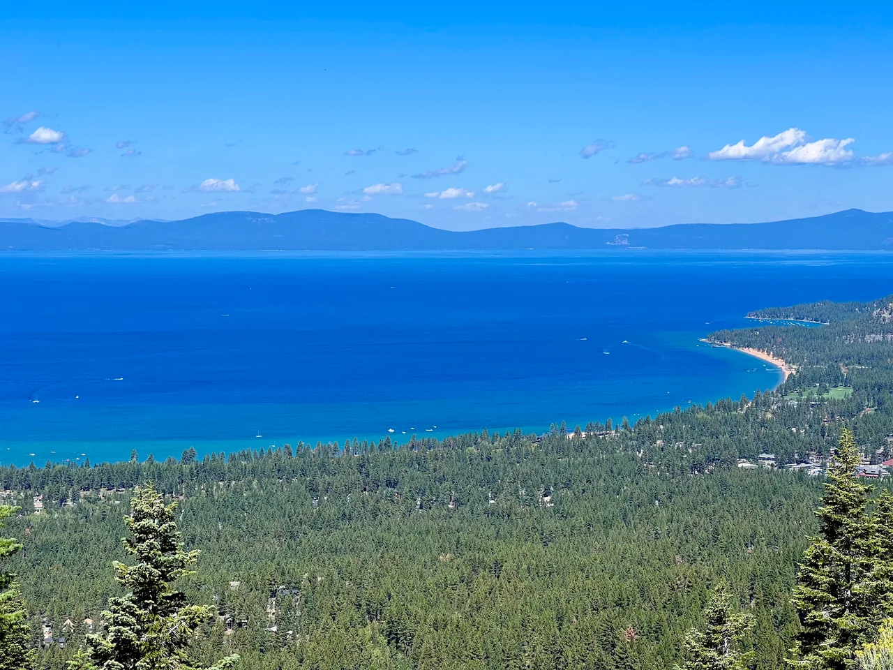
- Distance
- ≈ 5 mi
- Route
- Out and back
- Time estimate
- 2.5–4 hours
- Effort
- Moderate
Why go
Echo Lakes work well when you want water alongside much of the walk instead of a destination hidden at the end. The trail sits above the shore for stretches, with cabins and rocky slopes giving the view depth. It is a mountain path, not a paved promenade; the uneven surface keeps the pace slower than the modest elevation changes might suggest.
Use the upper-lake turnaround to keep the outing contained. The PCT continues toward more ambitious destinations, which can be tempting when the day feels easy early on. A shorter turnaround is equally valid if the group wants a relaxed morning. Give cabin access and private shore areas space, and keep breaks on established public trail or durable ground.
The walk
Out and back · Echo Lakes Trailhead, near Echo Chalet
Start near Echo Chalet and take the marked PCT/TRT along the north side of Lower Echo Lake. Follow the public trail past the lakeside cabins.
Continue around the transition between the lakes toward Upper Echo. Use the map to identify the upper-lake turnaround before the route climbs deeper into Desolation.
Turn back near the northwest end of Upper Echo Lake and retrace the shoreline trail. A descent to the boat dock is optional extra walking.
A route overview for planning. Carry an offline topographic map and follow current trail signs.
Getting there & going prepared
Road access, parking arrangements, and chalet facilities are seasonal. Bring your own water and check posted instructions at the trailhead. The described turnaround stays at the Echo Lakes shoreline; continuing into Desolation Wilderness requires checking its day-use permit rules. Do not depend on the seasonal water taxi for your return or assume private cabins provide public lake access.
Keep in mind
Rocky footing and short exposed sections make this more demanding than a flat lakeside stroll.
Sources & route notes
Five miles doubles Visit Lake Tahoe's 2.5-mile distance to the northwest corner of Upper Echo. Its page's 7,420–8,430 ft elevation range covers multiple farther destinations and is not a valid gain figure for this shoreline route, so gain is omitted. No taxi or Aloha extension included. Time and typical snow-free window are editorial estimates. Day-permit guidance: the Forest Service day-use page, updated September 28, 2026, limits the requirement to the installed-box summer season, while Recreation.gov still states year-round. Follow current Forest Service instructions for the visit date.
- Visit Lake Tahoe Echo Lakes guide
- PCTA trailhead
- PCTA route context
- Current Desolation day-use permit season
Source review: Oct 16, 2026. Not a field report or a statement that the trail is open. Times and difficulty are editorial planning estimates.