Vikingsholm & Emerald Bay
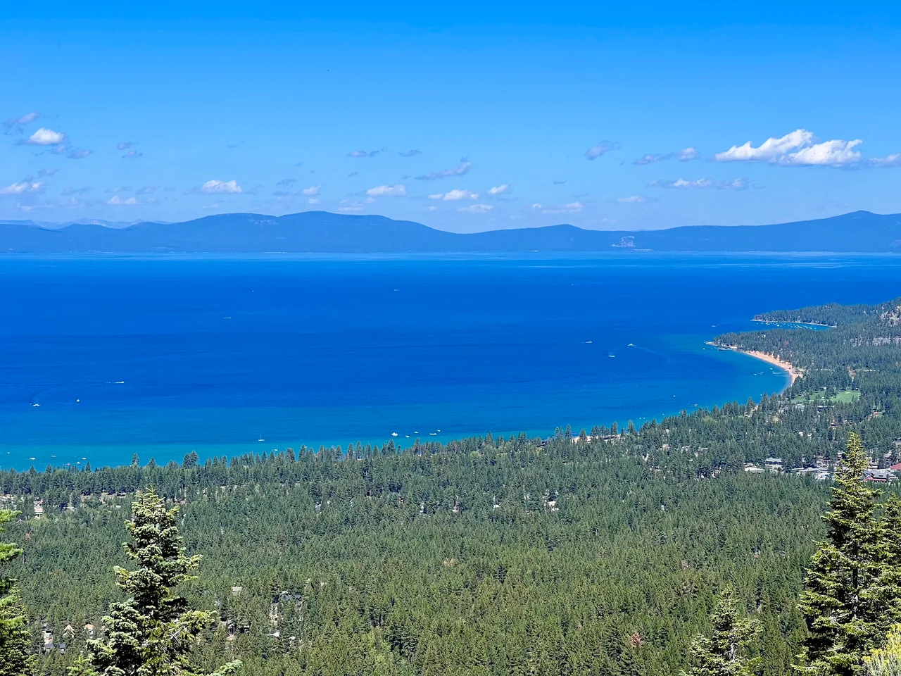
Walk from Emerald Bay's roadside overlook to the water and Vikingsholm. The broad path offers an approachable way into the bay, but the entire climb waits for the return.
- Distance
- ≈ 2 mi
- Elevation gain
- ≈ 400 ft
- Time estimate
- 1.5–2.5 hours
- Effort
- Moderate
Why go
This is the outing for seeing Emerald Bay at two scales: the familiar view from above, then the shoreline beneath it. Vikingsholm gives the destination a human story as well as a landscape. Leave room in your schedule to look around the exterior and sit by the water. Interior tours run separately and depend on the season.
The important planning detail is the direction of the effort. Walking downhill can make the arrival feel easy, particularly with children, but everyone must climb back to the parking lot. Pace the return and carry water from the start. This guide covers the direct house-and-shore visit; a walk along the Rubicon Trail or to Lower Eagle Falls adds distance.
The walk
Out and back · Vikingsholm / Harvey West parking lot, Highway 89
From the main Vikingsholm parking lot beside Highway 89, take the signed pedestrian route down toward Emerald Bay. Keep track of the descent you must regain.
At lake level, visit the Vikingsholm exterior and shoreline using designated paths. Check seasonal tour details separately if you want to enter the house.
Return up the same access path to the highway parking lot. Allow time for steady climbing and short breaks rather than assuming the return matches the descent.
A route overview for planning. Carry an offline topographic map and follow current trail signs.
Getting there & going prepared
California State Parks charges for parking and prohibits dogs on the trails, roads into the bay, and beach. The park operates sunrise to sunset. There is no ordinary vehicle access to the house or ride back uphill. Bring drinking water; seasonal services and house tours should be checked before your visit.
Keep in mind
The steep uphill return is unavoidable; snow or ice can make this short route hazardous.
Sources & route notes
The current State Parks visitor instructions give 2 miles round trip and 400 ft gain; an older directions section on the same page says a 500 ft descent. Treat gain as approximately 400–500 ft. No Lower Eagle Falls or Rubicon extension is included. Duration and snow-free window are editorial estimates.
Source review: Oct 16, 2026. Not a field report or a statement that the trail is open. Times and difficulty are editorial planning estimates.