Round Lake via Big Meadow
Cross Big Meadow and wander through the forest to a lake backed by volcanic cliffs. Round Lake offers a satisfying South Shore day hike with a clear destination and several changes of scenery along the way.
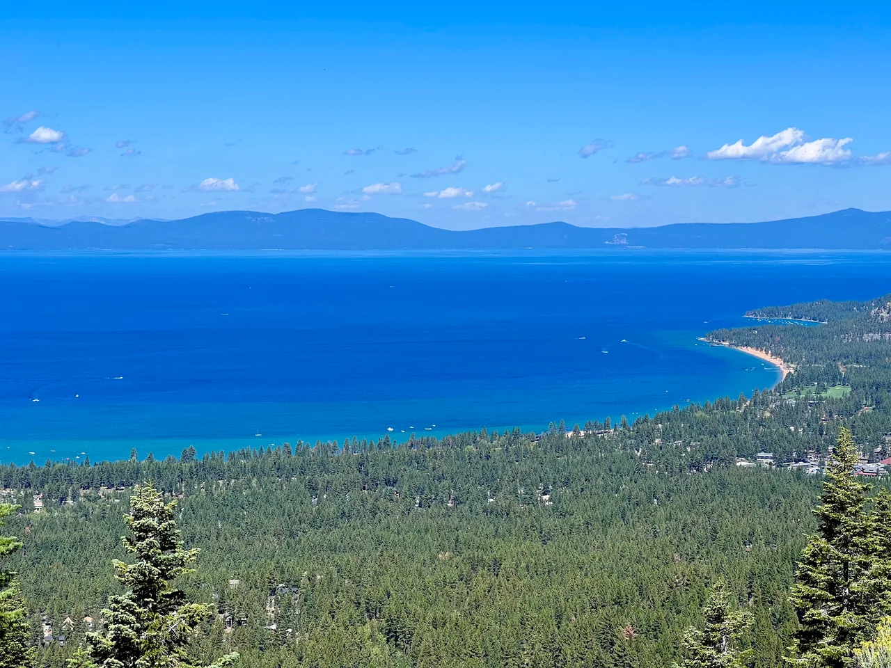
- Distance
- ≈ 6.1 mi
- Elevation gain
- ≈ 1,184 ft
- Time estimate
- 3–4.5 hours
- Effort
- Moderate
Why go
The opening climb gets you away from Highway 89 before Big Meadow changes the scale of the walk. Forest returns beyond the meadow, and Round Lake provides the final shift into a lakeside setting beneath dark cliffs. It is a good choice when you want a mountain outing without a summit as the organizing goal.
The path rolls rather than climbing in one uninterrupted push. Keep some energy for uphill sections on the return, and plan your lunch stop around the weather and daylight instead of a fixed pace. Nearby Dardanelles Lake is a worthwhile separate trip; combining both substantially changes the distance and should be planned before departure.
The walk
Out and back · Big Meadow Tahoe Rim Trailhead, Highway 89
From Big Meadow trailhead, follow the Tahoe Rim Trail to its Highway 89 crossing. Cross only when traffic allows, then climb toward Big Meadow.
Continue across the meadow and through the forest, following the Tahoe Rim Trail toward Round Lake. Check the map at the Lake Valley/Dardanelles junction.
Reach Round Lake and enjoy a stop on a durable surface. Return via the same trail through Big Meadow, remembering the highway crossing near the finish.
A route overview for planning. Carry an offline topographic map and follow current trail signs.
Getting there & going prepared
Big Meadow parking is seasonal, and winter restroom and trash services are not provided. Camping or overnighting at the trailhead is prohibited, as are solid-fuel campfires in Meiss Country. Share the trail considerately with bikes and horses, and keep dogs leashed. Check Forest Service access information before your drive.
Keep in mind
The route crosses Highway 89 near the trailhead; traffic is a separate hazard from the mountain walk.
Sources & route notes
Approximately 6.1 miles and 1,184 feet gain from The Outbound's Big Meadow out-and-back. Other sources describe 5.4–7 miles, reflecting parking and shoreline endpoints; this is not a loop of the lake. Primary tourism and TRTA sources corroborate the approach. Season and duration are editorial estimates.
- Visit Lake Tahoe trailhead information
- TRTA segment guide
- Round Lake route measurements
- Meiss Country route guide
Source review: Oct 16, 2026. Not a field report or a statement that the trail is open. Times and difficulty are editorial planning estimates.