Lake Margaret
A rolling walk through forest, granite and small meadows leads to a quiet-looking lake near Caples. Lake Margaret suits a leisurely half day, with enough varied footing to keep the approach interesting.
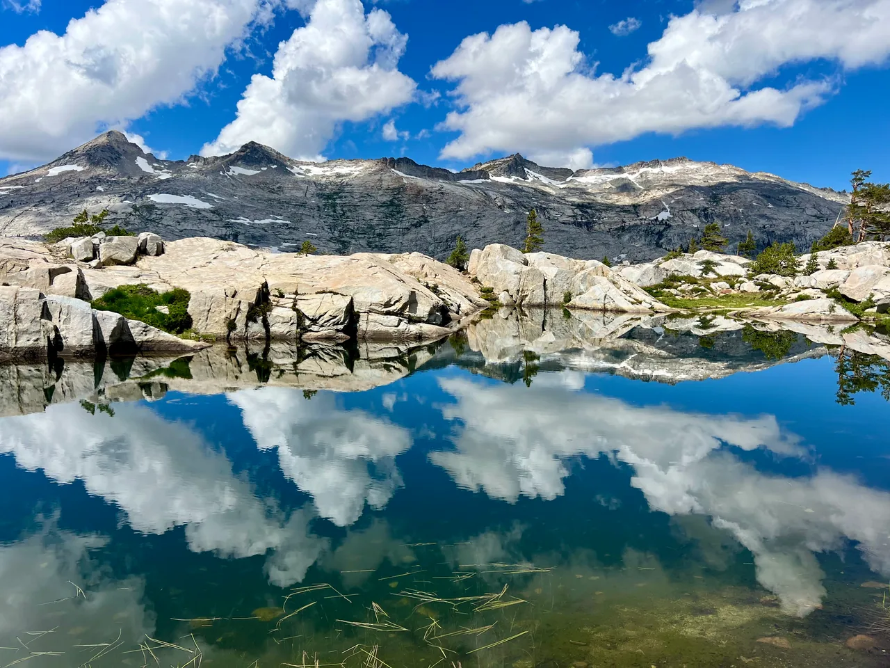
- Distance
- ≈ 5 mi
- Route
- Out and back
- Time estimate
- 2.5–4 hours
- Effort
- Moderate
Why go
Lake Margaret offers variety without demanding a summit push. The trail alternates between rock and trees, with stream crossings breaking up the walk. Treat those crossings as part of the outing, especially when snow is melting. The experience is more involved than a smooth lakeside stroll, even though the destination is not dramatically higher than the start.
Leave time at the water instead of racing the outward miles. Summer flowers and autumn aspens give different reasons to come back, while the alternating terrain keeps the return from feeling repetitive. For groups with mixed ability, a comfortable turnaround before a difficult crossing is a better plan than making the lake obligatory.
The walk
Out and back · Lake Margaret Trailhead, north side of Highway 88
Start at the Lake Margaret trailhead between Kirkwood Inn and Caples Lake. Follow the established route into the trees, watching for trail continuity across open granite.
Continue through the sequence of forest, meadows and stream crossings. Assess each crossing on its own merits; water levels vary with snowmelt and recent weather.
Finish at Lake Margaret and choose an existing durable resting spot. Return along the same trail, allowing time for the rolling terrain and crossings again.
A route overview for planning. Carry an offline topographic map and follow current trail signs.
Getting there & going prepared
The trailhead is on the north side of Highway 88. This is a shared trail used by hikers, mountain bikers and horses, so remain attentive on narrow sections and yield to stock. Keep dogs under control and use a leash. Check the Forest Service trail page for access notices before setting out.
Keep in mind
Several stream crossings can be difficult during snowmelt; wet granite also requires careful footing.
Sources & route notes
Uses the USFS 2.5-mile one-way route, approximately 5 miles return. Published elevation ranges do not measure cumulative gain, so gain is omitted. The USFS page carries a dated August 8 bridge-work notice; that is not treated as an ongoing closure on October 16, 2026.
Source review: Oct 16, 2026. Not a field report or a statement that the trail is open. Times and difficulty are editorial planning estimates.