Thunder Mountain
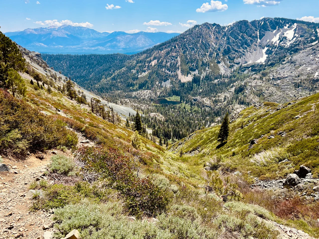
A sustained climb from Highway 88 reaches volcanic terrain and broad views above Silver Lake and Kirkwood. Choose Thunder Mountain when you want a summit day with a very different feel from Tahoe's granite lake basins.
- Distance
- ≈ 7.2 mi
- Route
- Out and back
- Time estimate
- 4–6 hours
- Effort
- Hard
Why go
The approach gives this hike its character: wooded slopes gradually open into meadows and volcanic rock. The summit is the reward, but the changing ground along the climb is a reason to keep looking around. This route starts at the west trailhead between Silver Lake and Kirkwood, rather than from the ski resort.
Expect a more demanding day than the nearby lake walks. Leave room in the schedule for rest stops and a careful descent, and choose settled weather for the exposed upper sections. A route continuing toward Horse Canyon exists, but it is a different itinerary with different transport decisions; this guide simply returns to the same trailhead.
The walk
Out and back · West Thunder Mountain Trailhead, Highway 88
Leave the Highway 88 trailhead on the Thunder Mountain Trail and climb through wooded slopes. Keep your effort comfortable before reaching the more open terrain.
Continue toward Thunder Mountain through meadow and volcanic sections. At junctions, check your map for the summit route rather than drifting onto the Horse Canyon connection.
After the summit, retrace the same trail to the west trailhead. Allow daylight for the descent and stay alert for other users on the shared path.
A route overview for planning. Carry an offline topographic map and follow current trail signs.
Getting there & going prepared
The Forest Service identifies a dirt trailhead parking lot along Highway 88 between Silver Lake and Kirkwood. Hikers share the route with bikes and horses. Keep dogs controlled and bring a leash. Check access and fire restrictions before leaving; a stove requires the applicable California Campfire Permit where its use is allowed.
Keep in mind
The upper route is exposed to wind and lightning; do not continue onto the ridge when thunderstorms threaten.
Sources & route notes
Approximately 7.2 miles return, doubling the USFS 3.6-mile west-trailhead summit route. The USFS lists 7,840–9,410 feet as elevation range; this is not cumulative gain, so gain is omitted. Does not include the Horse Canyon connector or resort approaches.
Source review: Oct 16, 2026. Not a field report or a statement that the trail is open. Times and difficulty are editorial planning estimates.