Round Top & Winnemucca Lakes
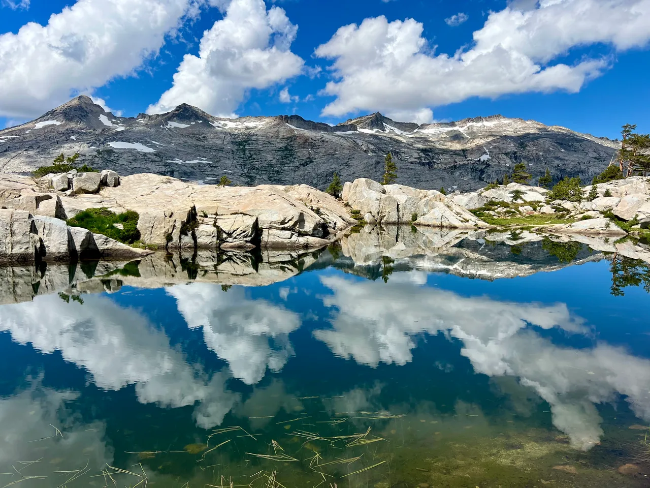
Two alpine lakes and a changing mountain backdrop make this a satisfying loop above Woods Lake. Round Top Lake provides the high-country setting; Winnemucca adds a second shoreline and a different way home.
- Distance
- ≈ 6 mi
- Elevation gain
- ≈ 1,200 ft
- Time estimate
- 3.5–5 hours
- Effort
- Moderate
Why go
This is a lake loop with a mountain overhead, so there is no need to turn it into a summit outing. The route links forest, open meadow and higher alpine ground, with enough variety to reward an unhurried half day. Starting at Woods Lake also gives the outing a clear beginning and end away from the pass itself.
Choose a direction before setting out and carry a map showing both branches. A longer break at either lake is more useful than trying to fit every nearby destination into one walk. Snow can linger in this basin after lower trails have dried, making the simplest-looking connection the part that needs the most attention.
The walk
Loop · Lower Woods Lake trailhead parking
From the lower Woods Lake parking area, take the established trail toward Winnemucca Lake. Follow the mapped forest and meadow route, keeping to existing tread.
At Winnemucca Lake, continue on the connecting trail toward Round Top Lake. This leg climbs into more open terrain; check conditions before committing to the crossing.
Descend by the Lost Cabin Mine Trail back toward Woods Lake and the original parking area. Stay on the lake loop rather than following summit use trails.
A route overview for planning. Carry an offline topographic map and follow current trail signs.
Getting there & going prepared
Woods Lake is reached on its access road off Highway 88. The lower parking area is the Forest Service's recommended starting point and charges a day-use fee. Dogs must be leashed. Overnight camping requires a wilderness permit and an assigned site in the management area; day hiking does not require a wilderness permit.
Keep in mind
Round Top's summit is a separate scrambling objective and is not part of this lake loop.
Sources & route notes
Uses the current USFS lower-parking variant: 2.5 miles to Winnemucca + 1 mile to Round Top Lake + 2.5 miles down Lost Mine Trail = approximately 6 miles. Older USFS brochure totals 5 miles; other guides give 4.2-mile variants. Approximate 1,200-foot climb is from the Carson Pass guide; total cumulative gain may be higher with extra shoreline exploration.
Source review: Oct 16, 2026. Not a field report or a statement that the trail is open. Times and difficulty are editorial planning estimates.