Meiss Lake from Carson Pass
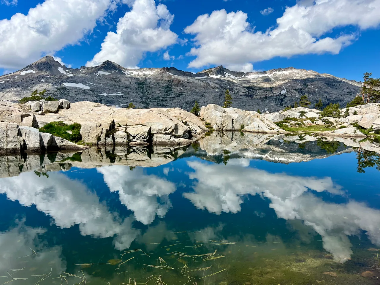
Head into the open country north of Carson Pass for meadows, a small lake and a wider sense of the landscape. Meiss Lake is a quieter-feeling objective for a full half day of walking.
- Distance
- ≈ 8 mi
- Route
- Out and back
- Time estimate
- 4–5.5 hours
- Effort
- Moderate
Why go
This route uses the north side of the pass, giving a different perspective from the popular Winnemucca approach. A climb over the ridge leads into Meiss Country and a more expansive meadow setting. The destination is a shallow lake, so come for the combination of walking and landscape rather than expecting a steep-walled alpine basin.
Treat the meadow as a place to move gently through. Stay on established paths even when the ground looks invitingly open, and avoid muddy shortcuts. The return crosses the ridge again, so the day includes climbing after your lake stop. Carry enough food and time to keep the second half as relaxed as the first.
The walk
Out and back · Meiss Trailhead, Highway 88 near Carson Pass
Begin at Meiss Trailhead near Carson Pass and follow the Pacific Crest Trail north toward the ridge. Check your map before leaving the parking area.
Continue into Meiss Country, then take the mapped connection toward Meiss Lake. Keep the lake destination distinct from routes continuing to Showers or Round Lake.
Stop at Meiss Lake without disturbing the wet shoreline, then retrace the route over the ridge to the original trailhead and parking area.
A route overview for planning. Carry an offline topographic map and follow current trail signs.
Getting there & going prepared
Use Meiss Trailhead on Highway 88, not the southbound Carson Pass trail entrance. A parking fee or applicable pass is required. The approach uses the PCT, where bicycles are prohibited. Bring a leash for your dog and follow posted rules. Check the seasonal parking scheme and Forest Service access information before departure.
Keep in mind
Open meadows and the ridge offer limited shelter from thunderstorms; wet ground can remain fragile after snowmelt.
Sources & route notes
Carson Pass/Meiss Trailhead variant selected because the official USFS guide verifies 4 miles one way. This is not Meiss Lake from Big Meadow and not the longer Meiss-and-Round-Lake outing. USFS low/high elevations are not cumulative gain, so gain is omitted. Duration and season are editorial estimates.
- USFS nonmotorized trail guide
- Visit Lake Tahoe Meiss Country guide
- TRTA Big Meadow–Echo Lake map
- USFS PCT route information
Source review: Oct 16, 2026. Not a field report or a statement that the trail is open. Times and difficulty are editorial planning estimates.