Winnemucca Lake
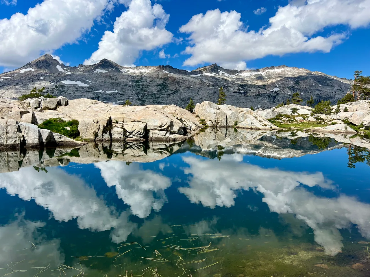
A compact introduction to the high Sierra: forest gives way to open slopes, summer flowers and a lake beneath Round Top. Choose this for mountain scenery without committing to a summit day.
- Distance
- ≈ 5 mi
- Elevation gain
- ≈ 600 ft
- Time estimate
- 2.5–4 hours
- Effort
- Moderate
Why go
Winnemucca works especially well when the journey matters as much as the destination. Frog Lake offers an early stopping point, then the landscape opens toward the mountains. During the summer bloom, plan a slower pace and leave room for photographs without stepping into the flowers. The lake is a natural place to settle into the day.
The climb is comparatively modest, but Carson Pass already sits high in the mountains. Give visitors arriving from sea level time to adjust. For a first visit, make the lake the goal and enjoy a generous break; the neighboring lakes and peaks deserve their own plans rather than an improvised extension.
The walk
Out and back · Carson Pass Information Station, Highway 88
Begin on the southbound Pacific Crest Trail at Carson Pass. Follow the established trail through forest toward Frog Lake, using the signed junctions and your offline map.
Continue toward Winnemucca Lake where its trail separates from the PCT. The open terrain makes this a good place to reassess wind, weather and energy.
Finish at the lake on a durable shoreline surface, then return by the same route. This guide does not include Round Top Lake or a summit ascent.
A route overview for planning. Carry an offline topographic map and follow current trail signs.
Getting there & going prepared
Use the Carson Pass trailhead beside the information station; a parking pass or fee applies. Day hiking does not require a Mokelumne Wilderness permit, while overnight trips do. Dogs must be leashed. Check the Forest Service's current access information and parking instructions before leaving, particularly around the transition to winter.
Keep in mind
Open alpine slopes expose hikers to wind and thunderstorms; lingering snow can conceal the trail.
Sources & route notes
Approximate 5-mile out-and-back from Carson Pass, supported by the USFS 2.5-mile one-way description. Approximate 600-foot cumulative gain comes from Tahoe Trail Guide, not subtraction of endpoint elevations. Times and season are editorial planning estimates, not a current snow report.
Source review: Oct 16, 2026. Not a field report or a statement that the trail is open. Times and difficulty are editorial planning estimates.