Mount Tallac
The South Shore's signature summit hike climbs from forest and small lakes to a rocky, exposed crest. It is a demanding day with a broad view across Tahoe and Desolation Wilderness.
- Distance
- ≈ 10 mi
- Elevation gain
- ≈ 3,500 ft
- Time estimate
- 6–8 hours
- Effort
- Hard
Why go
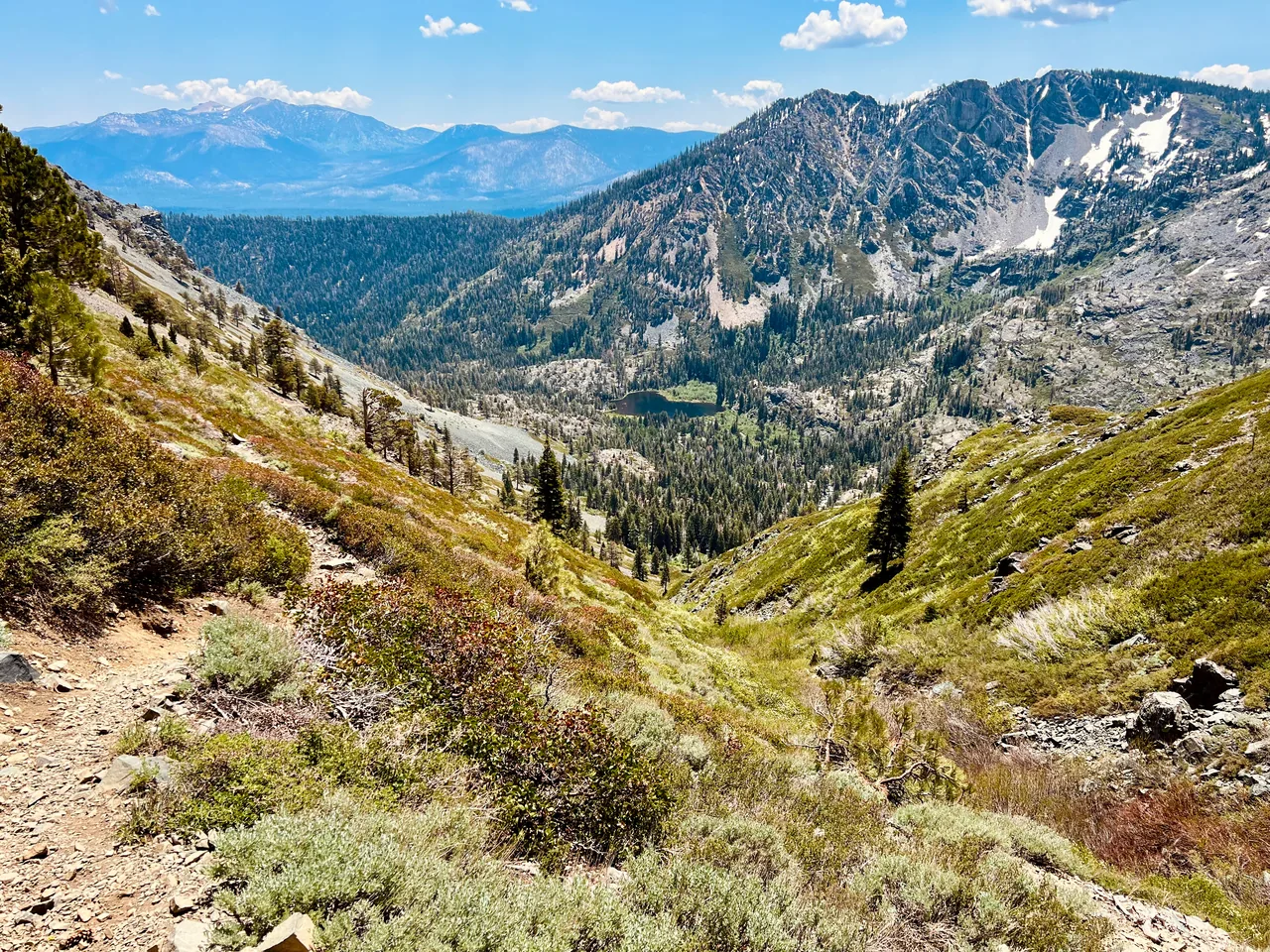
Tallac is a substantial hike even for people who are comfortable with the mileage. Most of the day's work is uphill on the approach, followed by a descent that still demands careful footwork. Floating Island Lake and Cathedral Lake break up the lower section. Higher up, the terrain becomes rockier and shelter from sun or wind is limited.
Choose this route for a summit day with room in the schedule, rather than squeezing it between other plans. Start with a realistic turnaround time and be willing to finish at one of the lower lakes. The summit panorama is the attraction, but stable weather and enough energy for the descent matter more than reaching the final rocks.
The walk
Out and back · Mount Tallac Trailhead, off Highway 89
Leave the standard Mount Tallac trailhead and follow the established route past Floating Island Lake toward Cathedral Lake. These are useful places to reassess pace and energy.
Above Cathedral Lake, stay with the maintained trail through rocky terrain toward the summit. Avoid old shortcuts and turn around if snow or weather exceeds your preparation.
Descend by the same trail, checking junctions carefully so you return toward Cathedral Lake and the original trailhead rather than continuing toward Gilmore Lake.
A route overview for planning. Carry an offline topographic map and follow current trail signs.
Getting there & going prepared
Use the standard summer trailhead off Highway 89, not a winter ski approach. Road access is seasonal, and no potable water is listed at the trailhead. Check Desolation permit instructions before hiking. Dogs are permitted under control, but the long stretches of rough rock can be hard on paws. Bring substantial water, food, and layers.
Keep in mind
Long exposed upper slopes, loose rock, lingering snow, and thunderstorms can turn this into a much more serious outing.
Sources & route notes
The trailhead page gives 5 miles one way; another Forest Service table gives 4.6. Use approximately 10 miles for planning. The approximately 3,500 ft cumulative gain follows Tahoe Trail Guide's standard-trailhead route. This excludes the Glen Alpine approach. Duration and seasonal window are editorial estimates, not an assertion that snow has melted. Day-permit guidance: the Forest Service day-use page, updated September 28, 2026, limits the requirement to the installed-box summer season, while Recreation.gov still states year-round. Follow current Forest Service instructions for the visit date.
- Forest Service Mount Tallac trailhead
- Detailed route reference
- Desolation permits
- Forest Service trail table
- Current Desolation day-use permit season
Source review: Oct 16, 2026. Not a field report or a statement that the trail is open. Times and difficulty are editorial planning estimates.