Cascade Falls
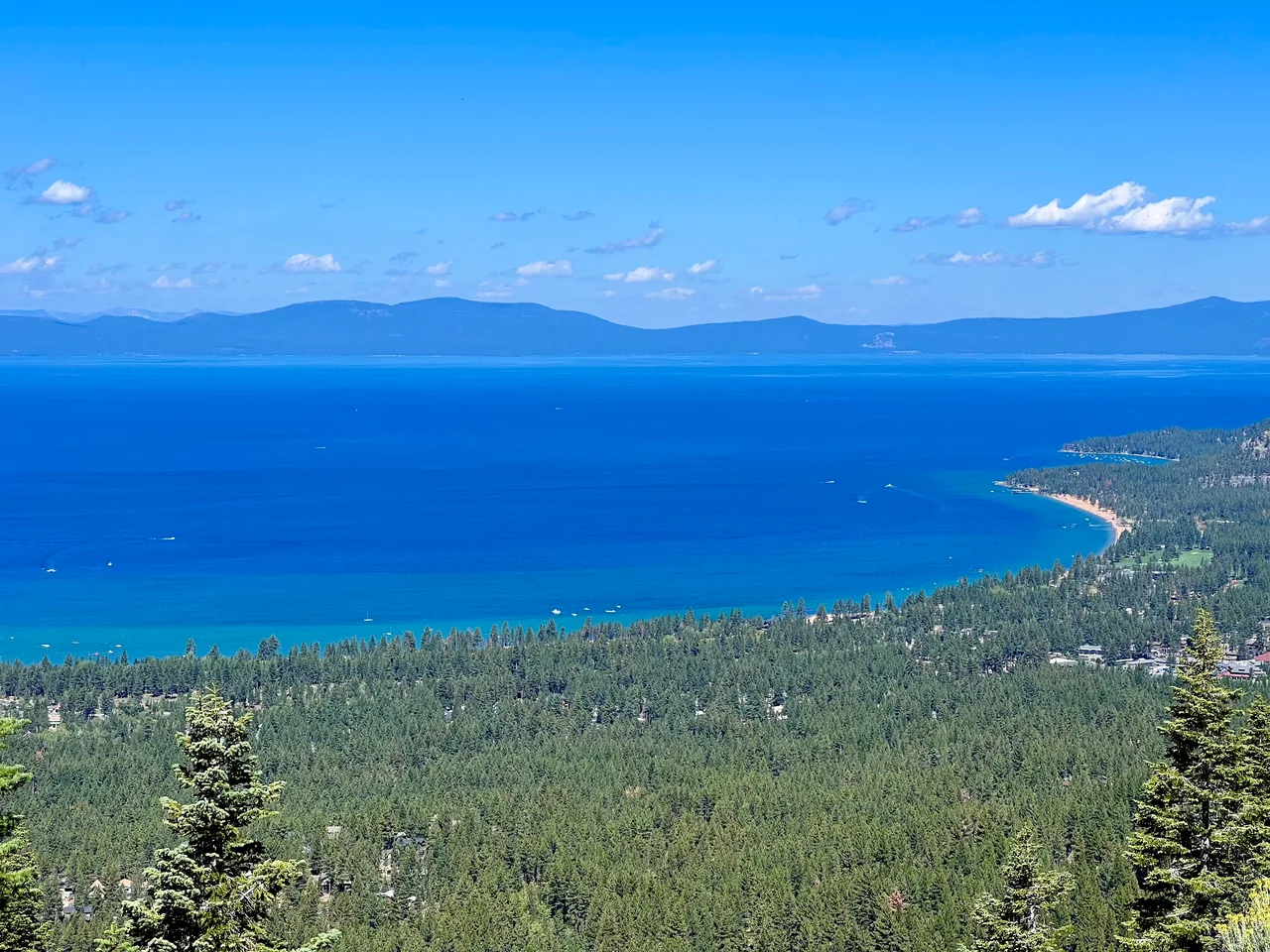
A short, rocky traverse above Cascade Lake leads to a waterfall overlook with Tahoe in the distance. Come for the layered lake views; time a visit around snowmelt for stronger flow.
- Distance
- ≈ 2 mi
- Elevation gain
- ≈ 350 ft
- Time estimate
- 1.5–2 hours
- Effort
- Moderate
Why go
Cascade Falls is a good choice when a short hike still needs to feel like an outing. The trail moves across a rocky hillside above Cascade Lake, so the scenery unfolds along the way instead of waiting at the finish. Its limited mileage can be misleading: irregular footing and exposed sections deserve more attention than a casual lakeside path.
The destination is the upper waterfall area, where the stream drops toward the lake below. Find a safe place back from the lip to pause and take in the view. Water volume varies with the season, and a quieter late-summer cascade can still make a worthwhile walk. Keep this trip to the maintained route and return the way you came.
The walk
Out and back · Bayview Trailhead and Day-Use Area
Begin at Bayview and choose the signed Cascade Falls route. Other trails from this trailhead climb toward Granite Lake and the Desolation Wilderness interior.
Follow the established traverse above Cascade Lake, watching your footing on uneven rock. Stay on the trail rather than descending toward the private lakeshore.
Stop at a safe viewing area above the falls, well away from the edge and flowing water. Return along the same hillside trail to Bayview.
A route overview for planning. Carry an offline topographic map and follow current trail signs.
Getting there & going prepared
Bayview has seasonal parking and restrooms; the Forest Service lists no potable water. Keep dogs leashed. This falls outing does not require continuing into Desolation Wilderness; if you extend the trip across that boundary, check permit requirements first. Confirm road and trailhead access, and respect any posted parking restrictions near Inspiration Point.
Keep in mind
The waterfall lip is unprotected; avoid wet slabs and do not scramble down beside the falls.
Sources & route notes
Two-mile round trip and approximately 350 ft cumulative gain follow Tahoe Trail Guide's defined Bayview outing. The trail undulates; the gain is not simply the difference between starting and ending elevation. Typical season and timing are editorial estimates. Do not infer current waterfall flow or access from this guide. Day-permit guidance: the Forest Service day-use page, updated September 28, 2026, limits the requirement to the installed-box summer season, while Recreation.gov still states year-round. Follow current Forest Service instructions for the visit date.
- Forest Service Bayview trailhead
- Route and elevation reference
- Current Desolation day-use permit season
Source review: Oct 16, 2026. Not a field report or a statement that the trail is open. Times and difficulty are editorial planning estimates.