Van Sickle Waterfall
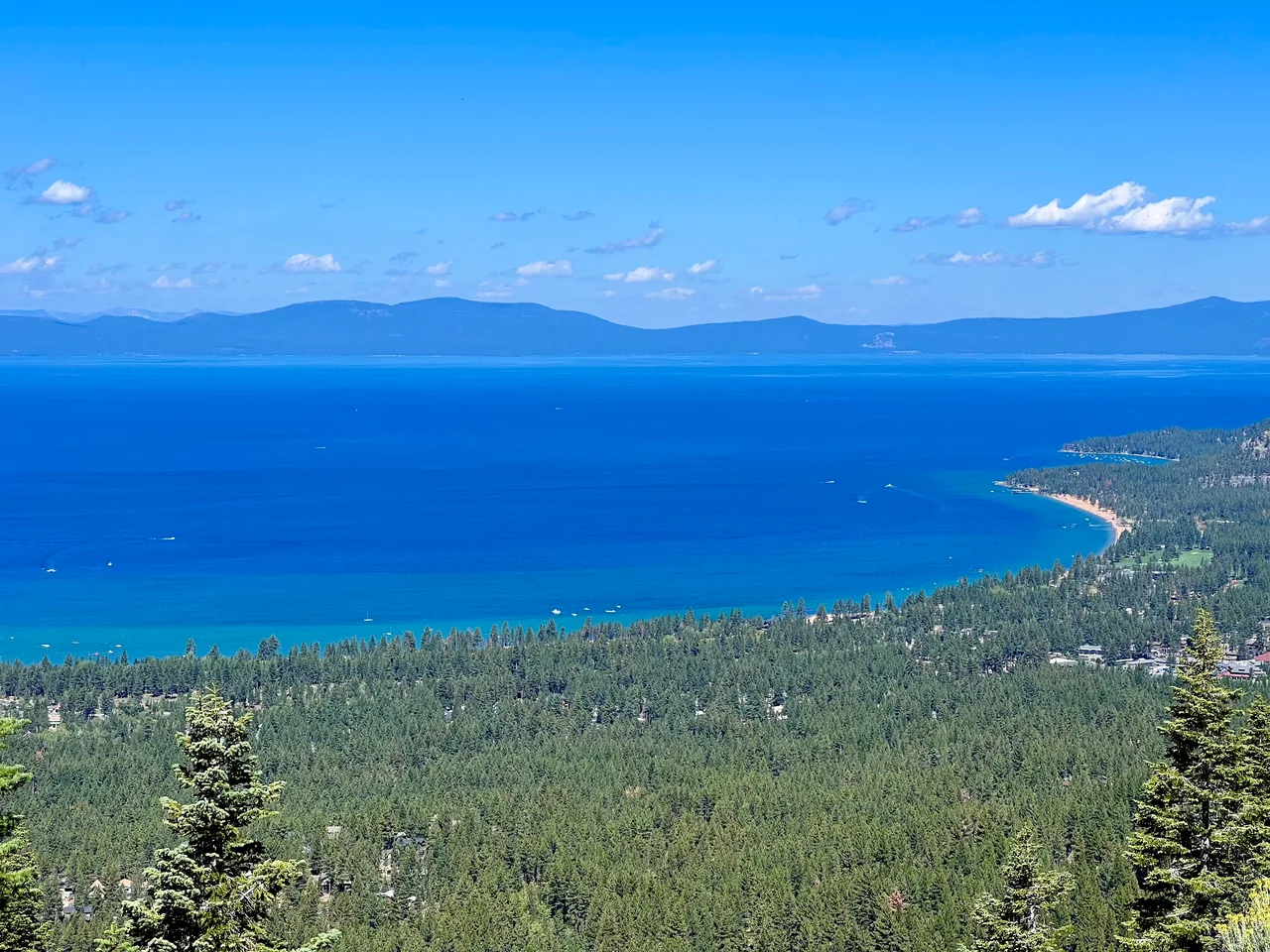
A forest climb above Stateline pairs Tahoe views with a small seasonal waterfall. It is an appealing short outing, but construction changes the approach and deserves a check before you leave town.
- Distance
- ≈ 2.2 mi
- Elevation gain
- ≈ 570 ft
- Time estimate
- 1.5–2.5 hours; longer with the California-side approach
- Effort
- Moderate
Why go
Van Sickle makes it possible to trade the bustle of Stateline for pine shade without a long drive. The climb is the experience: openings in the trees reveal the lake, while rocks and switchbacks keep the walking varied. Pick it for a compact morning outside rather than a large wilderness objective.
The waterfall is a modest, seasonal turnaround rather than a guaranteed dramatic cascade. Give yourself time to stop along the way and enjoy the changing views. This guide describes the traditional waterfall outing; its distance is not a promise for construction detours. Ask park staff about the permitted approach before committing to the route.
The walk
Out and back · Van Sickle Bi-State Park; confirm the permitted California-side approach during construction
Check the construction notice and trailhead map first. Begin only from an authorized access point; do not use the closed Nevada parking area or closed connecting trails.
Follow the signed, permitted connection toward the Rim Trail Connector and waterfall. Stay on the mapped trail through the forest and stop at established viewpoints.
Use the waterfall as your turnaround and retrace the permitted approach. Continuing toward the Tahoe Rim Trail changes this into a substantially longer uphill outing.
A route overview for planning. Carry an offline topographic map and follow current trail signs.
Getting there & going prepared
The park lists free admission, sunrise-to-sunset pedestrian access, and dogs on leashes no longer than six feet. Its July 2026 construction notice limits parking and closes portions of the Nevada side, with work anticipated through fall 2027. Use the current park map and staff guidance; the usual vehicle season does not override construction closures.
Keep in mind
Construction affects the standard approach; the waterfall may have little flow later in the season.
Sources & route notes
2.2 miles and about 570 feet refer to the traditional Nevada-trailhead out-and-back (1.1 miles each way), which is affected by the July 23, 2026 closure. Do not present these as current California-detour metrics or show this route as open. Construction notice checked October 17, 2026 UTC; current access must be rechecked.
- Nevada State Parks: Van Sickle
- Official construction and access notice
- Traditional Nevada-trailhead distance
Source review: Oct 16, 2026. Not a field report or a statement that the trail is open. Times and difficulty are editorial planning estimates.