Eagle Lake
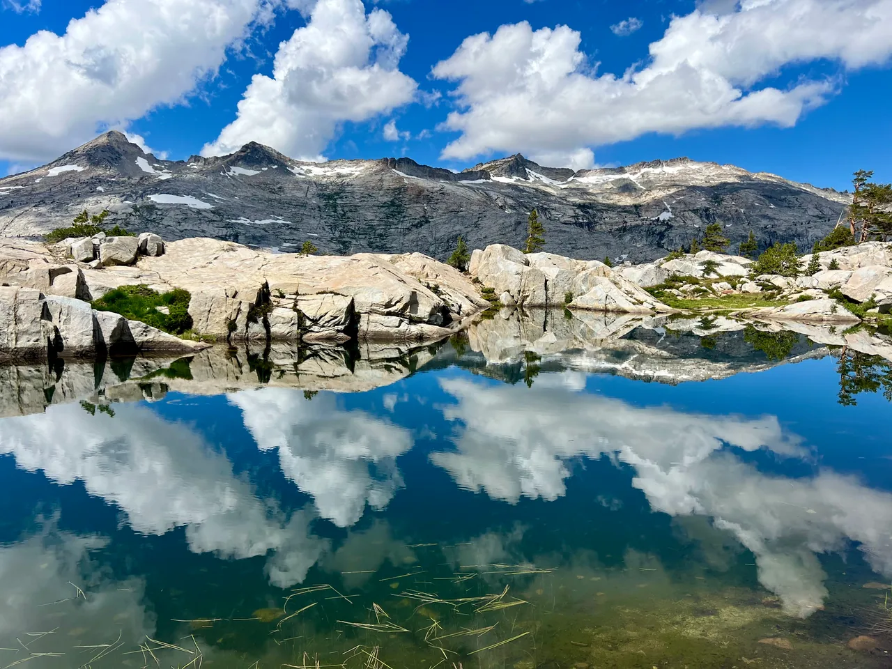
A compact introduction to Desolation Wilderness: climb past Upper Eagle Falls into a granite basin, then trade the busy Emerald Bay corridor for a mountain lake framed by steep rock walls.
- Distance
- ≈ 2 mi
- Elevation gain
- ≈ 430 ft
- Time estimate
- 1.5–2.5 hours
- Effort
- Moderate
Why go
Eagle Lake suits a morning when you want a real mountain setting without committing to a full day. The change in scenery arrives quickly: stone steps and running water near the start, then forest and pale granite around the lake. Expect company, especially on summer weekends. A little patience at narrow sections makes this busy route more pleasant for everyone.
The mileage is modest, but this is uneven mountain trail with an uphill approach. Give yourself time to sit beside the water rather than treating the lake as a checkpoint. Choose an established, durable place to rest and leave the shoreline vegetation alone. The same route returns you to the trailhead, making the day's distance straightforward to manage.
The walk
Out and back · Eagle Falls Picnic Area and Trailhead
Start at the Eagle Falls trailhead, check the posted notices, and follow the signed lake route uphill toward the bridge at Upper Eagle Falls.
Continue on the established Eagle Lake trail into Desolation Wilderness. At junctions, use the lake signs and your downloaded map rather than following other groups.
Make Eagle Lake your turnaround, allowing extra time for a shoreline break. Retrace your approach and descend the stone steps carefully when they are wet.
A route overview for planning. Carry an offline topographic map and follow current trail signs.
Getting there & going prepared
The Forest Service lists seasonal parking with a fee, seasonal restrooms, and no drinking water at the trailhead. Obtain the applicable Desolation day-use permit before entering; check the current issuing instructions. Keep dogs leashed and pack out their waste. Arrive early and use legal parking only around this busy Highway 89 corridor.
Keep in mind
Wet granite and steps near the falls can be slippery; stay away from waterfall edges.
Sources & route notes
Distance is 2 × the Forest Service's 1.0-mile one-way figure. Approximate gain rounded from 433 ft in the supplemental route report, which measures a shorter 1.8-mile trace. This guide ends at Eagle Lake, not the longer Velma Lakes routes. Duration and seasonal window are editorial estimates, not a current conditions report. Day-permit guidance: the Forest Service day-use page, updated September 28, 2026, limits the requirement to the installed-box summer season, while Recreation.gov still states year-round. Follow current Forest Service instructions for the visit date.
- Forest Service trail distances
- Forest Service trailhead
- Desolation permits
- Supplemental route metrics
- Current Desolation day-use permit season
Source review: Oct 16, 2026. Not a field report or a statement that the trail is open. Times and difficulty are editorial planning estimates.