Lake Aloha via Echo Lakes
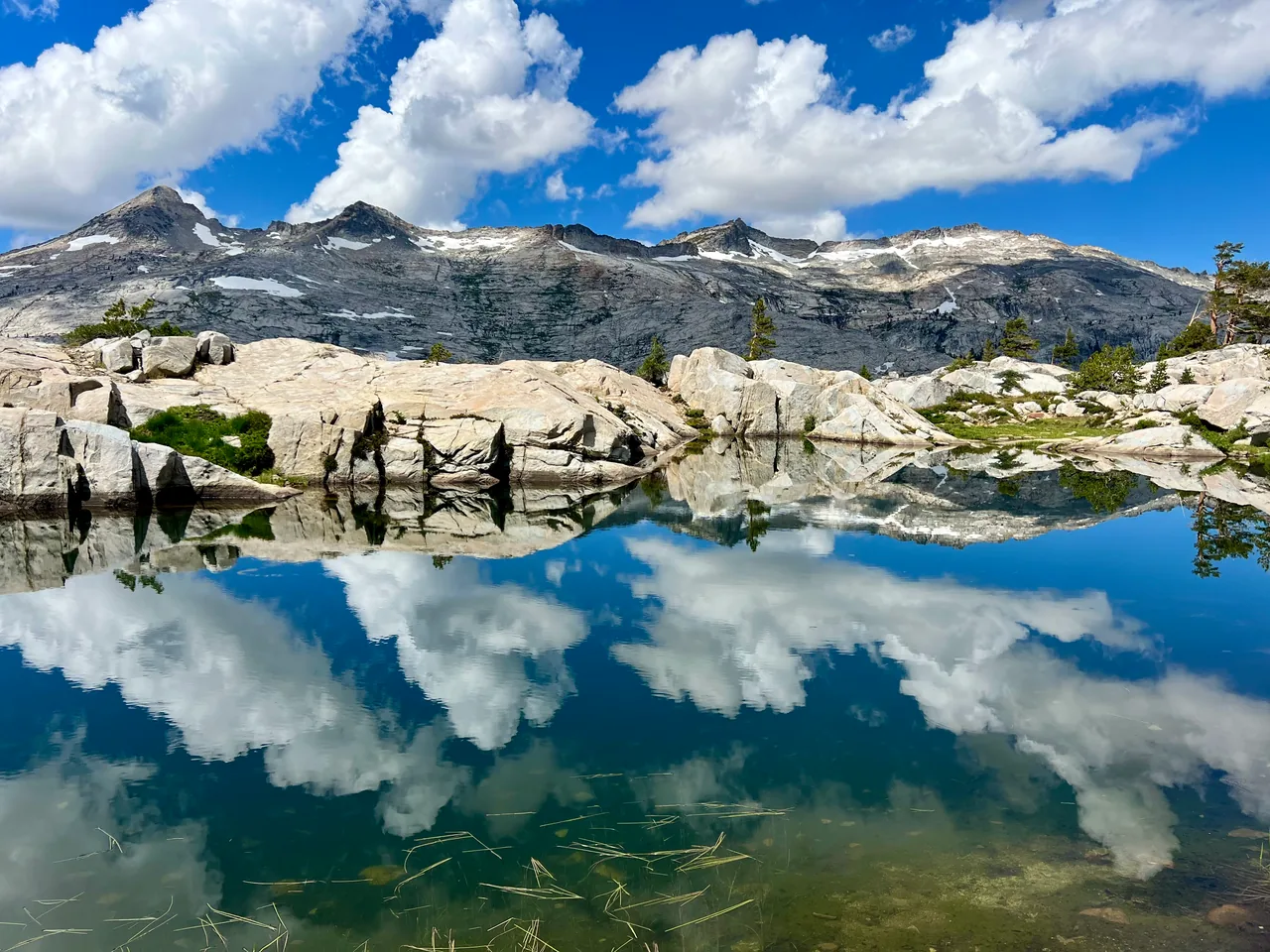
Follow the Pacific Crest and Tahoe Rim trails from Echo Lakes into Desolation's open granite country. Lake Aloha is the turnaround for a full day on foot, with no water taxi assumed.
- Distance
- ≈ 12 mi
- Route
- Out and back
- Time estimate
- 6–8 hours
- Effort
- Hard
Why go
The approach offers two different versions of the Sierra in one day. Echo Lakes begin with shoreline views and cabins; farther in, the landscape opens into granite, scattered trees, and the broad basin around Aloha. The route is long enough that a comfortable start can disguise the effort still ahead. Keep an eye on time before adding any side lakes.
At Aloha, choose a durable shoreline spot for a meal and take in the surrounding ridges. The open setting is the reward, but it also means fewer places to escape weather. This itinerary stops at the first suitable lakeshore turnaround rather than following the entire lake. Walking farther along the shore is an extension with its own return mileage.
The walk
Out and back · Echo Lakes Trailhead, near Echo Chalet
From Echo Lakes, take the PCT/TRT along the lakes toward the upper basin. Remain on the through trail rather than descending to the seasonal taxi dock.
Continue into Desolation Wilderness, checking the map at the lake-trail junctions. Follow the signed Aloha route and budget for rocky footing that can slow your pace.
Turn around at Lake Aloha's accessible southern shore and retrace your route to Echo Lakes. Account separately for any shoreline exploring or side trips.
A route overview for planning. Carry an offline topographic map and follow current trail signs.
Getting there & going prepared
Check Echo Lakes road access and parking before departure; chalet services are seasonal. Arrange the applicable Desolation day-use permit. An overnight stay needs a separate overnight permit and required food storage. This mileage assumes walking both ways, so neither water-taxi availability nor its operating hours are part of the plan. Carry water and treatment equipment.
Keep in mind
A long, rocky return and exposed granite terrain leave little margin for late starts or changing weather.
Sources & route notes
The 12-mile round trip follows TRTA's Echo Lakes-to-Aloha itinerary and excludes taxi use and shoreline extensions. Gain is omitted because the PCTA combined Tamarack/Aloha page's displayed 935 ft profile appears to represent the shorter Tamarack option, not this 12-mile route. Duration and snow-free window are editorial estimates. Day-permit guidance: the Forest Service day-use page, updated September 28, 2026, limits the requirement to the installed-box summer season, while Recreation.gov still states year-round. Follow current Forest Service instructions for the visit date.
- Tahoe Rim Trail Association Lake Aloha hike
- Pacific Crest Trail Association route
- Desolation permit and food-storage rules
- Day-use permits
- Current Desolation day-use permit season
Source review: Oct 16, 2026. Not a field report or a statement that the trail is open. Times and difficulty are editorial planning estimates.