Eagle Rock
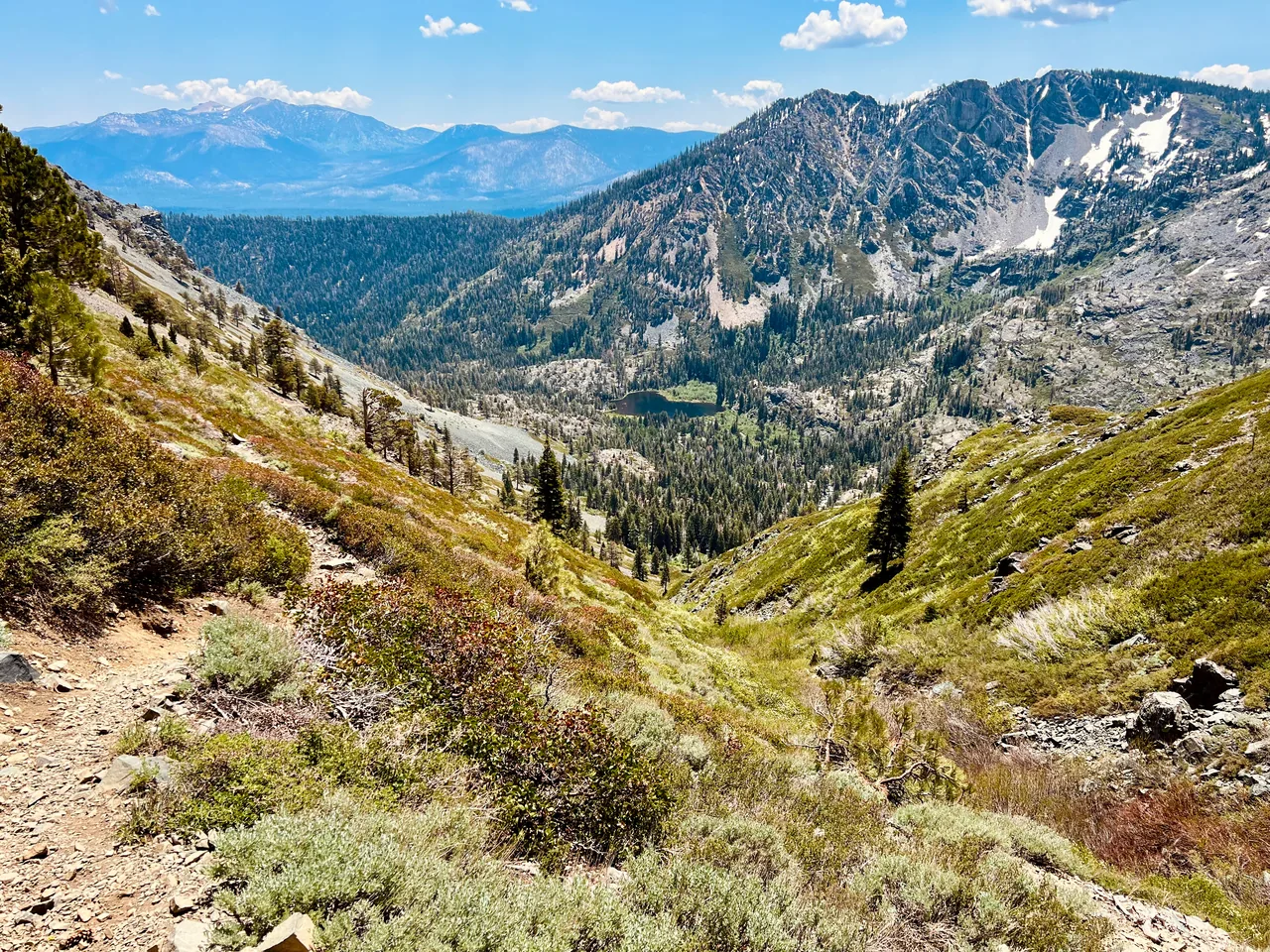
A short climb delivers a broad Lake Tahoe panorama from a rocky west-shore perch. Eagle Rock is a strong choice when you want a memorable view without giving the whole day to a hike.
- Distance
- ≈ 0.7 mi
- Elevation gain
- ≈ 240 ft
- Time estimate
- 45–60 minutes
- Effort
- Easy
Why go
The appeal here is proportion: a little walking buys a very large view. The approach rises through trees before the summit opens onto the lake, with enough elevation to make the shoreline feel newly legible. It works well as a standalone morning walk or a deliberate pause during a west-shore day.
Short does not mean flat, and the rocky top deserves more care than the mileage suggests. Take the maintained trail, leave time to enjoy the panorama, and keep children close near the edges. For photographers, the interest is the sweep of water and mountain rather than a complicated route or a long succession of landmarks.
The walk
Out and back · Eagle Rock parking area on Highway 89 near Blackwood Creek
Begin at the signed trailhead beside the designated Highway 89 parking area. Read the kiosk and follow the maintained path into the trees above Blackwood Creek.
Continue up the established trail toward the rocky summit, keeping off closed erosion scars and shortcuts. Take smaller steps on loose or uneven sections of the climb.
Enjoy the lake view from a secure place away from the edges, then descend by the same trail. Let ascending walkers pass where the path widens.
A route overview for planning. Carry an offline topographic map and follow current trail signs.
Getting there & going prepared
The California Tahoe Conservancy identifies public parking immediately south of Eagle Rock along Highway 89 and an information kiosk at the trail. Parking space is limited, so use legal spaces and keep traffic moving. Consult the Conservancy for temporary work closures. Stay on the constructed trail, which was designed to reduce erosion into Blackwood Creek.
Keep in mind
The summit has exposed rocky edges; short mileage does not remove fall risk, especially in ice or wind.
Sources & route notes
0.7 miles round trip and gain rounded from published 239 feet. Editorial difficulty Easy reflects short distance but includes a real climb and exposed summit. Archived closure notices are not evidence of a current closure or current opening.
- California Tahoe Conservancy: Eagle Rock
- Visit Lake Tahoe: route distance
- Palisades Tahoe: hike distance and gain
Source review: Oct 16, 2026. Not a field report or a statement that the trail is open. Times and difficulty are editorial planning estimates.