Hawley Grade
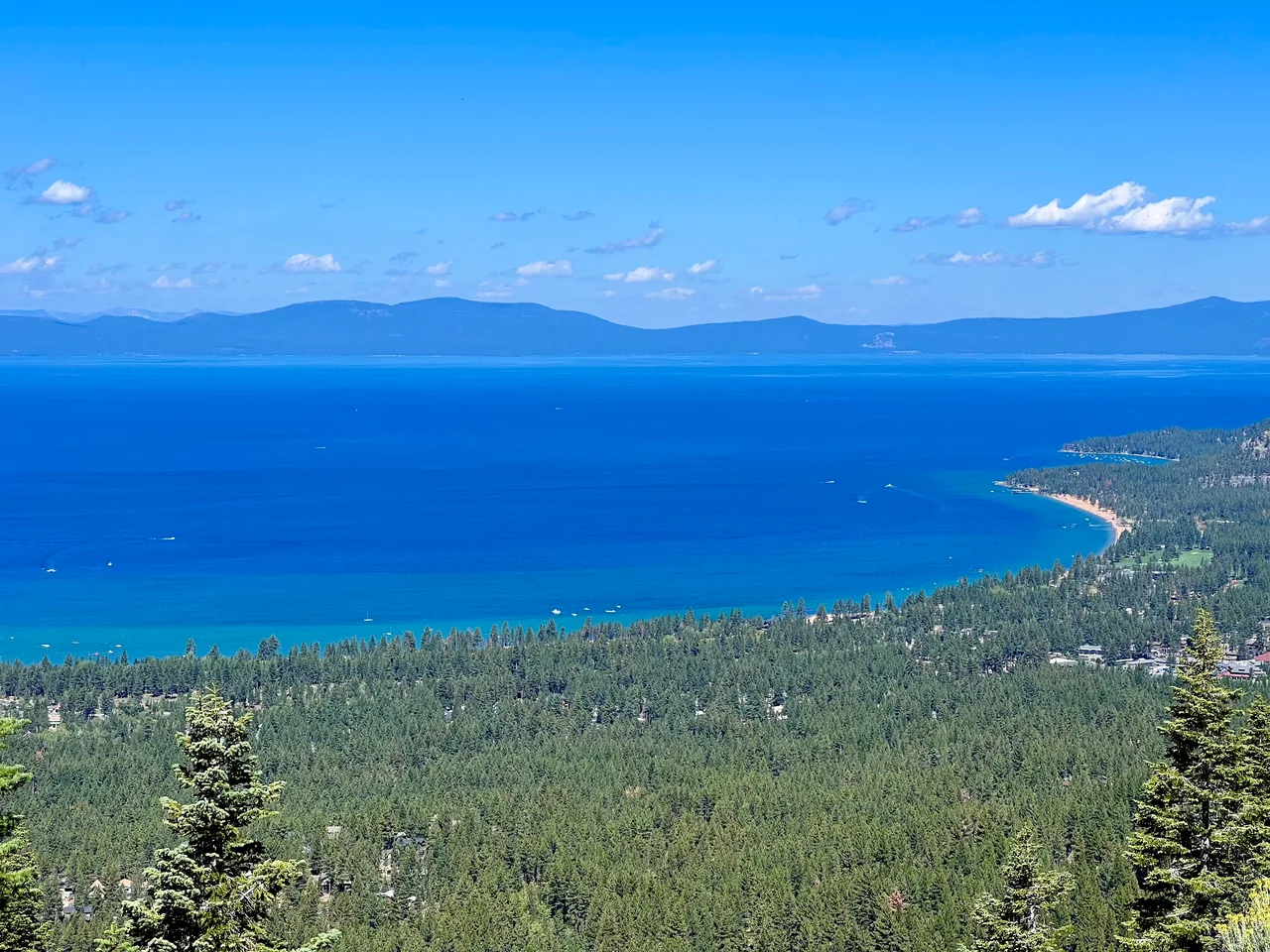
Climb an old travel route from Christmas Valley toward Echo Summit, with forest and occasional views over the Tahoe Basin. Hawley Grade combines a compact outing with a tangible connection to the area's transportation history.
- Distance
- ≈ 3.6 mi
- Route
- Out and back
- Time estimate
- 2–3 hours
- Effort
- Moderate
Why go
Hawley Grade rewards interest in the route itself. The trail follows a former toll-road corridor used by wagons and, briefly, the Pony Express. Walking it today gives the slope and distance more meaning than a roadside history sign. Views open in places, but the appeal is not a continuous panorama from start to finish.
The upper endpoint meets the Highway 50 corridor, so this is not a summit picnic with an isolated finish. Turn around safely before traffic becomes an issue. Seasonal flowing water can add interest, although waterfall volume depends on runoff; choose the full grade for the walk rather than a guaranteed waterfall photograph.
The walk
Out and back · Hawley Grade National Recreation Trail, South Upper Truckee Road
Locate the signed Hawley Grade access at the end of the South Upper Truckee Road approach. Respect neighborhood parking and follow the established trail uphill.
Continue along the historic grade toward Echo Summit, remaining on the trail through wooded and open stretches. Use an offline map at any access junctions.
Turn around at a safe point before entering Highway 50 traffic, then return down the same grade. The route does not require walking along the highway.
A route overview for planning. Carry an offline topographic map and follow current trail signs.
Getting there & going prepared
The lower access is in Christmas Valley near the end of South Upper Truckee Road. Park only where permitted without blocking residents or gates. Dogs should be leashed. The National Recreation Trail record lists hiking, equestrian and bicycle use; remain attentive to others. Check with the Tahoe Basin Forest Service for current access conditions.
Keep in mind
The upper trail reaches Highway 50; stop before the roadway and return without walking on its shoulder.
Sources & route notes
Approximately 3.6 miles return doubles the 1.8-mile historic NRT segment; parking approaches and safe turnaround points change actual distance. The NRT record is historical and warns that details may be outdated. Endpoint elevation difference is not used as gain. This guide is for the full grade, not a shorter waterfall-only excursion.
- National Recreation Trail public record
- Sierra Nevada Geotourism overview
- Visit Lake Tahoe waterfall and access guide
Source review: Oct 16, 2026. Not a field report or a statement that the trail is open. Times and difficulty are editorial planning estimates.