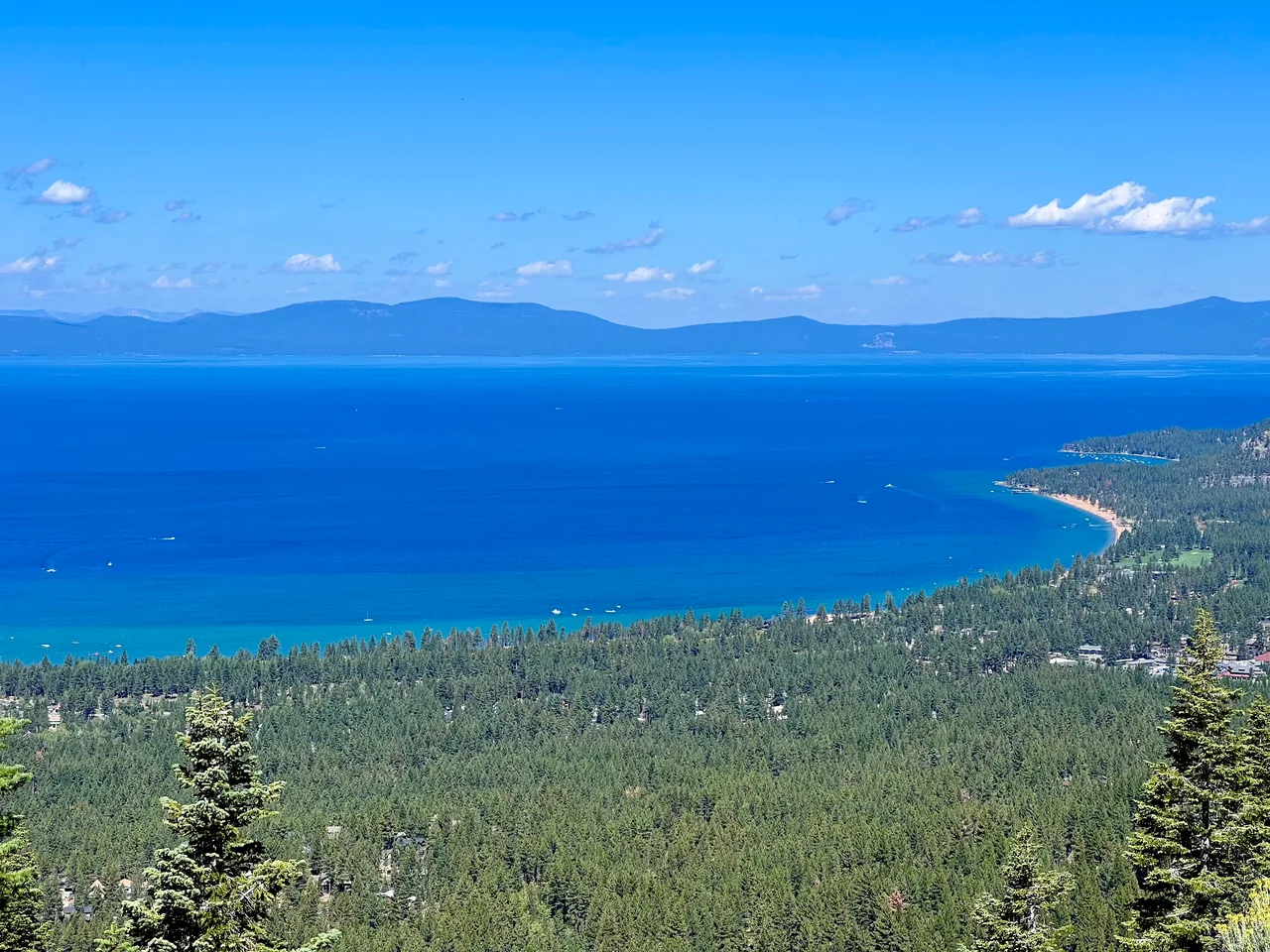
Marlette Lake from Spooner
A substantial forest outing connects Spooner Lake with the higher Marlette basin through North Canyon. Choose it for a full walking day, changing woodland scenery, and a lake destination beyond the roadside crowds.
- Distance
- ≈ 10 mi
- Route
- Out and back
- Time estimate
- 5–6.5 hours
- Effort
- Hard
Why go
The journey to Marlette has a different rhythm from Tahoe’s rocky summit hikes. Much of the appeal lies in moving through the forest and watching the surroundings change as the route rises. Give the approach time; the lake is a destination several miles from the visitor center, not an easy addition to Spooner’s short loop.
At the basin, choose a modest turnaround and save the Flume Trail or additional shoreline exploring for a separately planned trip. Construction around the historic water system can affect access and the experience, so photographs and older descriptions are not reliable condition reports. Confirm the permitted route before leaving, then enjoy the day at a pace that leaves energy for the return.
The walk
Out and back · Spooner Lake State Park visitor center and day-use area
Begin at Spooner Lake’s day-use area and check the current backcountry map and construction notices. Follow the signed North Canyon approach only where public access is permitted.
Continue along the mapped Marlette route, using the hiking trail where designated and sharing road sections carefully. Recheck junction signs rather than following other visitors onto different routes.
Make Marlette Lake your turnaround and return to Spooner along the permitted approach. A Flume Trail extension or longer lake circuit adds distance beyond this ten-mile itinerary.
A route overview for planning. Carry an offline topographic map and follow current trail signs.
Getting there & going prepared
Nevada State Parks lists the North Canyon route to Marlette as five miles each way, with a parallel hiking-and-horse trail for much of the approach. An entrance fee applies at Spooner; check the current rate. Dogs require a leash no longer than six feet. Consult the park’s construction updates and obey closure signs and equipment controls.
Keep in mind
Water-system construction can change access; do not rely on an old closure date or assume the lake is fully restored.
Sources & route notes
Ten miles doubles State Parks' five-mile one-way North Canyon listing. No verified cumulative ascent total; leave gain null. The old Marlette closure URL now holds a May 22, 2026 Hobart notice and warns Marlette crews may still be finishing. Do not repeat 2025 news claiming Marlette remains closed through 2026 as current fact. Hiker parallel-trail variation may change distance slightly.
- Nevada State Parks: Spooner and Marlette routes
- Official water-system construction update
- Travel Nevada: Spooner backcountry
Source review: Oct 16, 2026. Not a field report or a statement that the trail is open. Times and difficulty are editorial planning estimates.